Mynydd Bodafon
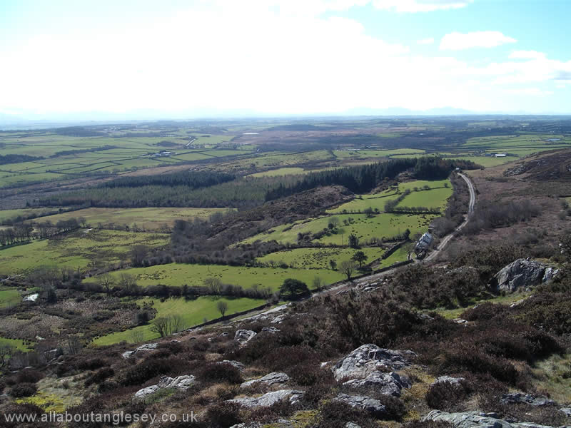
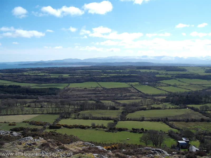
Bodafon Mountain is 587 feet (178 metres) tall. It is the highest mountain on the island of Anglesey, although Holyhead mountain, at 722 feet (220 metres), on Holy Island is the highest in the county of Anglesey.
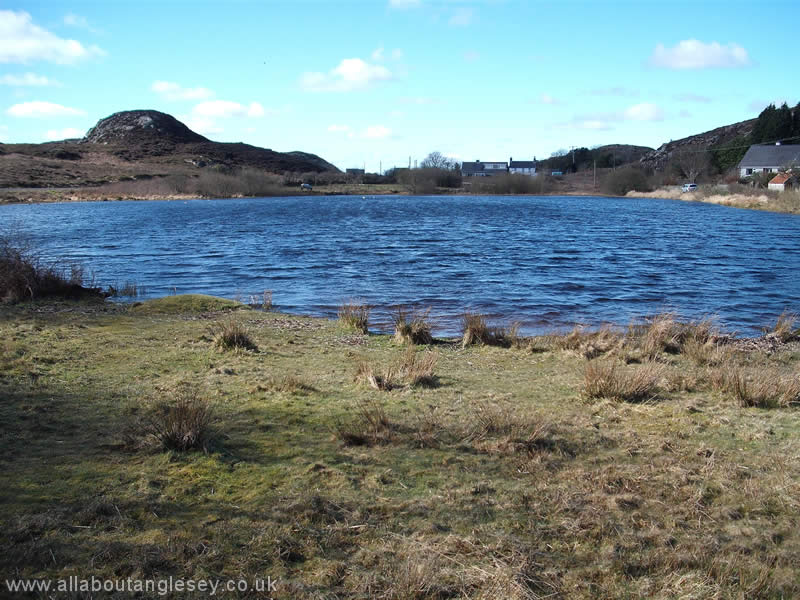
On a clear day, Mynydd Bodafon provides excellent views over much of Anglesey. Its summit is known in Welsh as Yr Arwydd, or The Signal, and is a comfortable walk for any reasonably fit individual. On the eastern side of the mountain is an Iron Age earthwork. Nestled in a natural amphitheatre towards the summit of Yr Arwydd lies Llyn Bodafon, a lake which was formed by glacial melt. It provides a quiet and restful spot for visitors.

Moelfre
 A picturesque seaside village, with a noted maritime history. Moelfre has a small harbour comprising a narrow cove with a high stone wall on the seaward side. Moorings are unusual, with boats generally being beached on the shingle bank. A walk along the coastal path from the beach takes in an old boathouse, the Seawatch Centre, the Royal Charter memorial, and the current lifeboat station. Continue along the path for views of Ynys Moelfre.
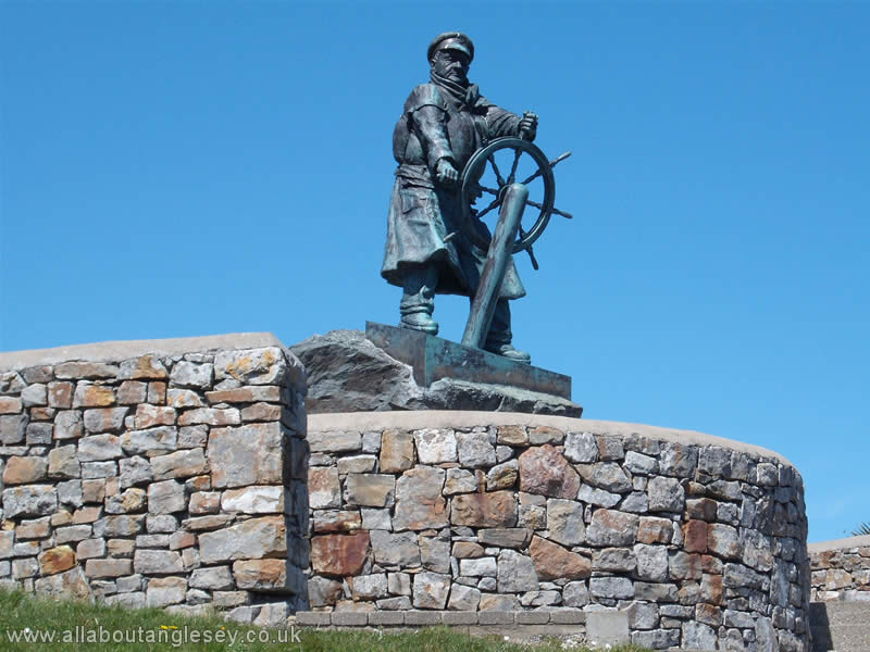
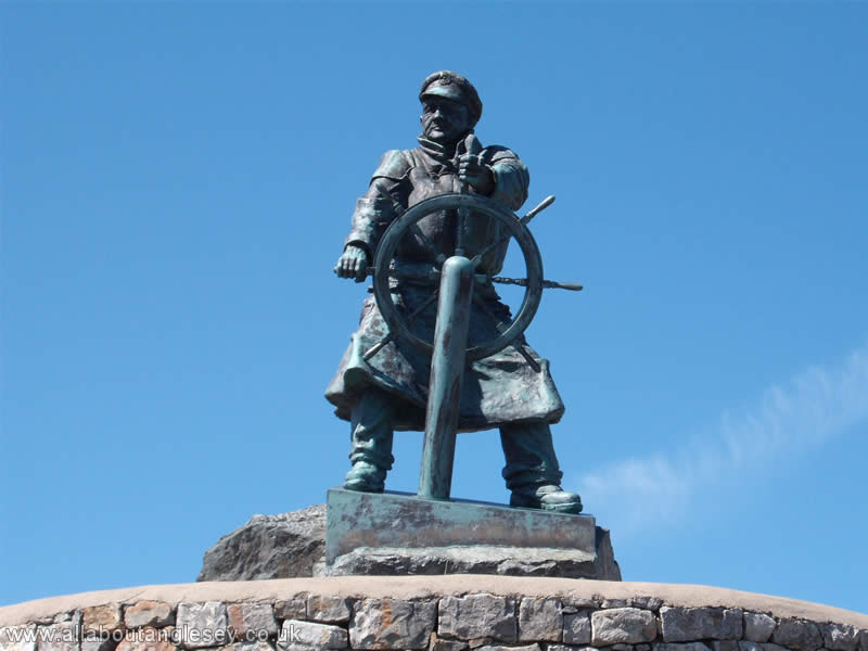
Dic Evans, Moelfre Lifeboat
In 2004, a statue was erected to the late Dic Evans, a coxswain of the Moelfre lifeboat who was twice awarded the Gold Medal of the Royal National Lifeboat institution, its highest award. The first award was for his work in the rescue of the crew of the Hindlea in 1959, and the second was for the rescue of those on the Nafsiporos.
The Seawatch Centre houses a collection of maritime memorabilia, including a former lifeboat. It also tells the story of the most famous ship to have been wrecked along this part of the coastline, the Royal Charter, which came to grief in 1859.
Malltraeth
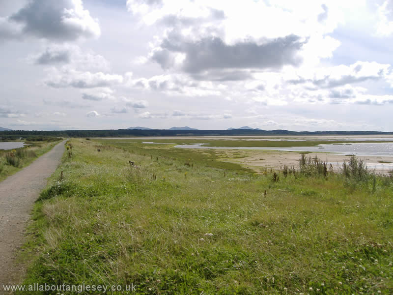
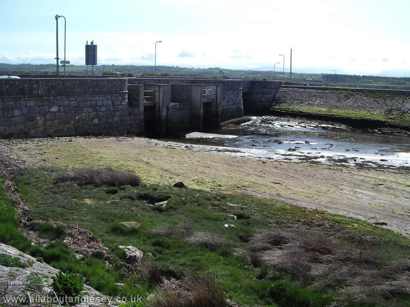
At one time, boats were able to navigate up the Cefni river as far as Llangefni. Malltraeth roughly translates as rotting shore, which is a reference to what were extensive coastal marshes. The marsh is now drained and controlled by sluices. Winter tides are kept at bay by the Cob or a mile long embankment topped by the coastal path and a cycle track. The area around Malltraeth is noted for its wildlife and in particular its variety of birds. Malltraeth was where the noted wildlife artist Charles Tunnicliffe set up a studio.
Llannerch-y-medd
The name translates to the glade of the mead-dwellers, mead being an alcoholic brew from at least medieval times. Llannerch-y-medd was once a major centre on the island for harp playing, and had a thriving livestock market. At one time, over 200 cobblers were engaged in producing footwear for workers in the copper mines of Parys Mountain. Now there are none.
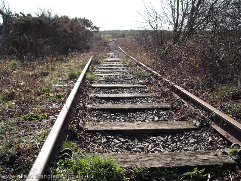
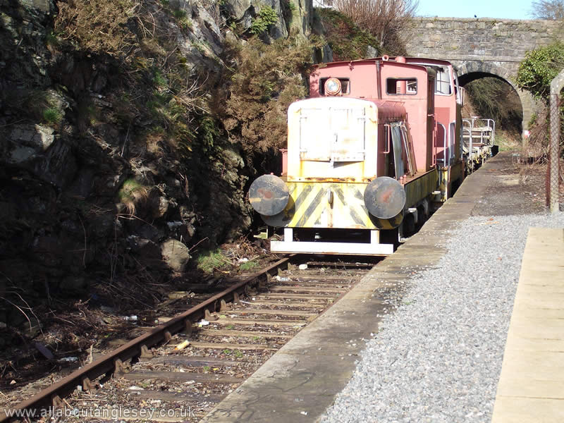
Llannerch-y-medd was at one time an important station on the Anglesey Central Railway, with a single platform because of limiting ground conditions. However, there were a number of sidings and goods sheds. The station reopened as a heritage and community centre in 2010 with grants from Anglesey Council and enterprise agency, Menter Mon.